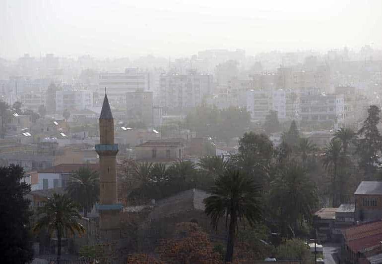
Weather Update: Dust and Temperature Trends
As the week progresses, dust levels in the atmosphere are anticipated to persist until Friday, bringing with them a blanket of warmth across various regions. Inland areas are bracing for temperatures to soar to 26 degrees Celsius, creating a balmy environment for residents and businesses alike. The coastal regions are not far behind, with the mercury expected to hit 23 degrees Celsius on the southwest, west, and north coasts, while the southeast and east coasts may experience a slightly higher temperature of 24 degrees Celsius. Mountainous areas will enjoy cooler weather, with temperatures forecasted at a comfortable 19 degrees.
As the day unfolds, clouds may gather, potentially leading to increased cloud cover. This could result in isolated light rain showers in the mountainous regions, offering a brief respite from the dry conditions. The weather conditions overnight are set to remain predominantly clear, although coastal areas might see a surge in cloud levels.
With nightfall, a noticeable dip in temperature is expected. Inland areas will experience a cool 14 degrees Celsius, while coastal temperatures will gently fall to 15 degrees Celsius. The mountains will feel a more significant chill, with the thermometer dropping to 11 degrees Celsius.
As Saturday dawns, a light mist or fog is predicted to envelop inland territories and the east coast, gradually clearing as the day advances. However, weather conditions may change with localized increases in clouds, accompanied by chances of isolated rain in the west, north, and mountainous regions. The possibility of isolated storms is also on the radar for inland or mountain locales on Saturday.
Heading into Sunday and Monday, localized clouds are expected to linger in the skies. Despite these cloudy interludes, temperatures are forecasted to hold steady, providing a consistent weather pattern for the start of the new week.