Scattered rains are expected on Tuesday, initially gracing the west and north before making their way to the mountains and interior regions. Alongside this, light dust will continue its subtle dance in the atmosphere. Temperatures will rise to a warm 29°C in the interior, 28°C in the southeast, and on the east and north coasts, while the remaining coasts will see a cooler 26°C. In the higher mountains, temperatures will hover around a brisk 22°C.
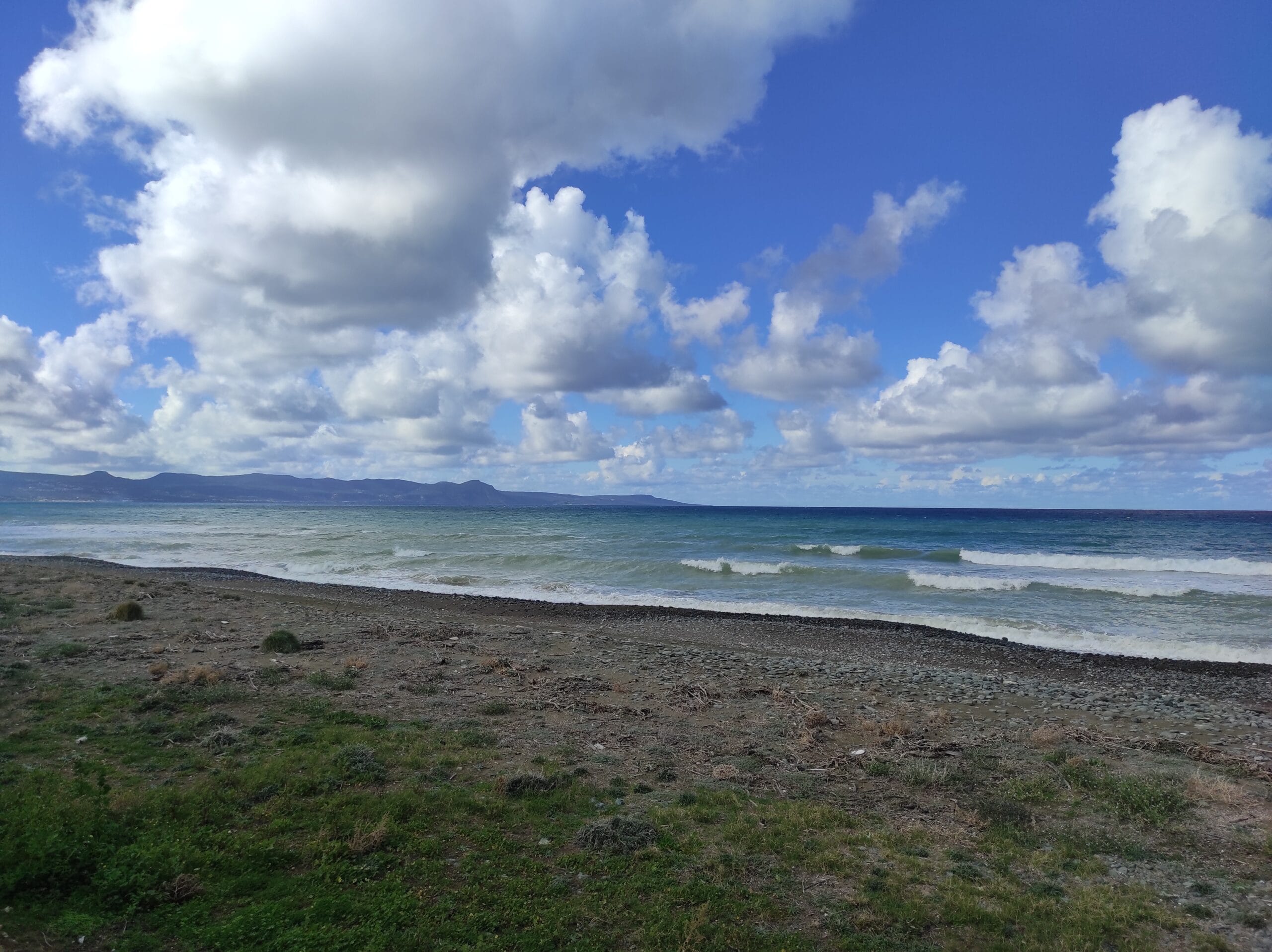
Winds will predominantly blow from the south to north-west, ranging from light to moderate, reaching up to 4 Beaufort. However, on the south coast, they will strengthen in the afternoon to a robust 5 Beaufort. The sea, reflecting the wind’s vigor, will be rough.
Overnight Changes
As night falls, temporarily increased low clouds will appear mainly in the west and north, later spreading inland and to the east. Light fog is expected to make an appearance as well. Temperatures will dip to 16°C inland, 17°C along the coast, and a chilly 8°C in the higher mountains. Winds will gradually shift to a north-westerly to north-easterly direction and ease to a gentler 2 to 3 Beaufort, allowing the sea to calm.
Midweek Weather Outlook
The presence of dust is expected to persist through Wednesday. Over the next two days, showers are anticipated in the mountains and interior regions. By Friday, however, the weather is forecasted to be mostly clear. Temperatures will rise slightly through Friday, fluctuating close to the seasonal average.